Satellite methods provide drought detection from space
Observing sites like the Amazon basin from space has underscored the capability of satellites to better detect signs of drought, according to a new study.
Observing sites like the Amazon basin from space has underscored the capability of satellites to better detect signs of drought, according to a new study.
Griffith Agribusiness’ most recent recruit, Dr Zannie Langford, is set to take the lead on a new project, exploring climate...

Satellite data used to achieve reliable recharge estimates for Perth Basin system.
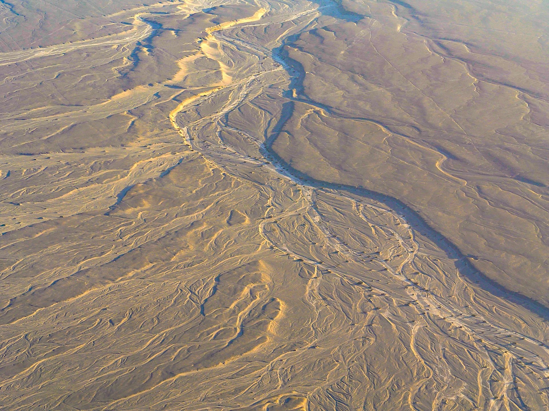
ARC project to identify groundwater availability and risks associated with groundwater extraction.
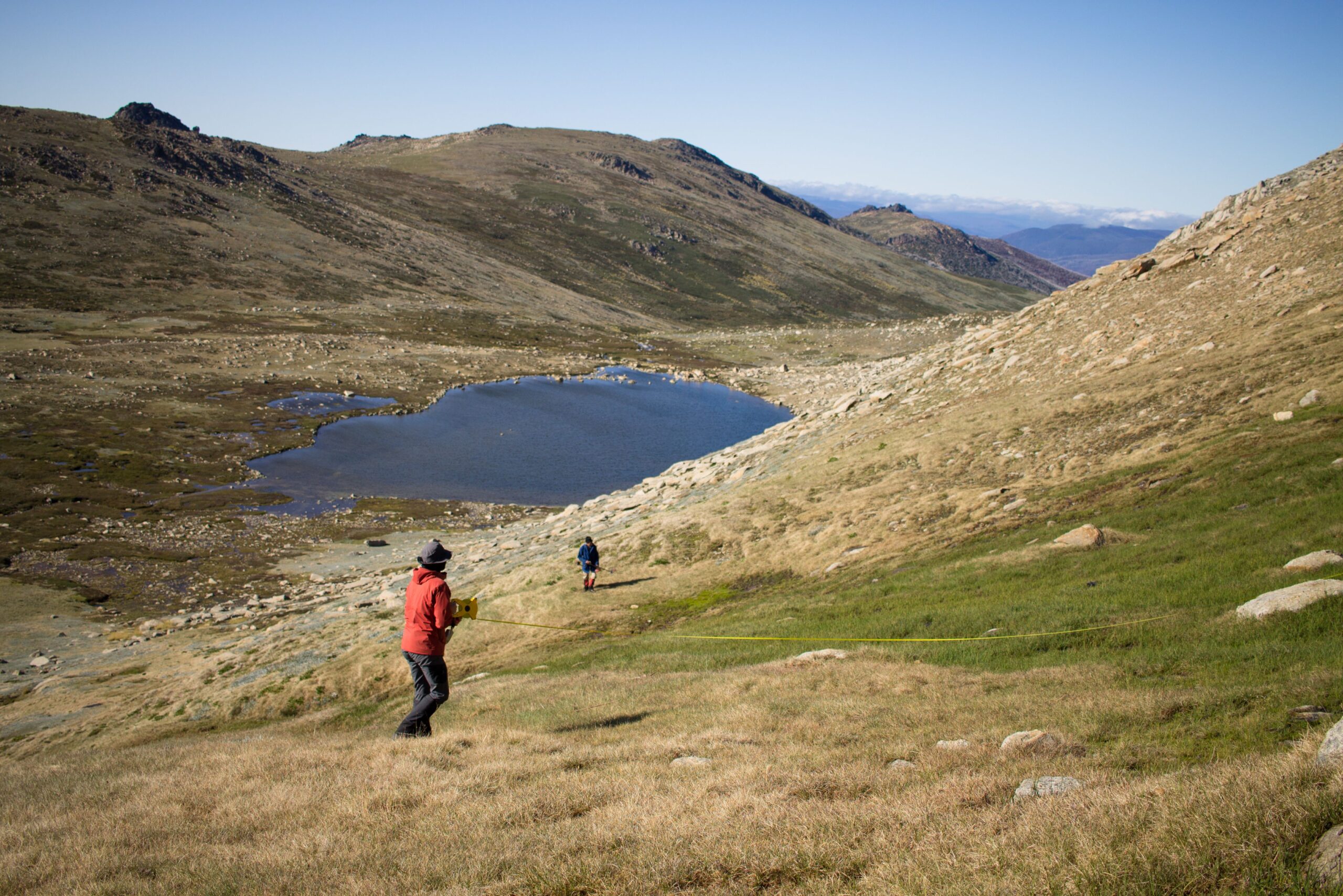
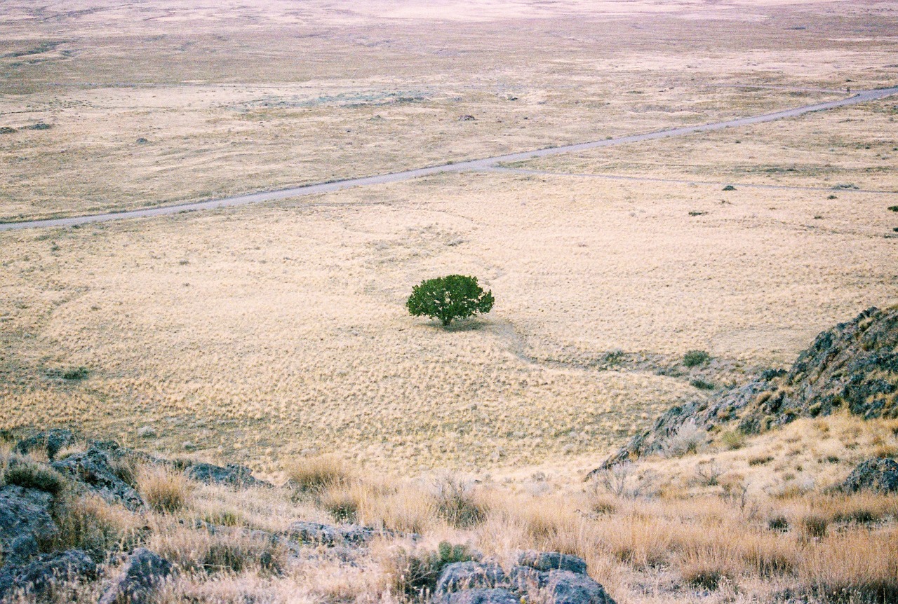
Findings reveal how Australia’s alpine habitat responds to climate change and bushfires.
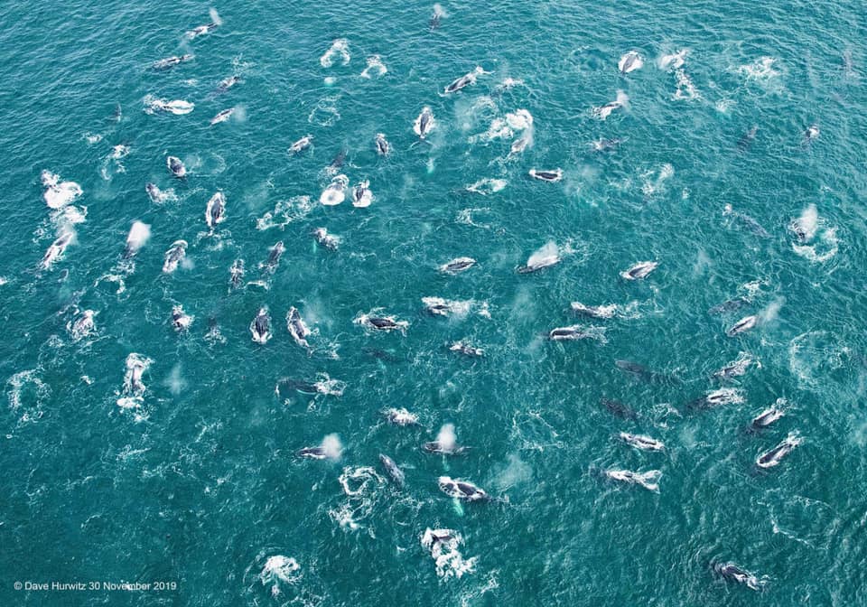
Study finds humpback whale super-groups follow changing ocean currents and phytoplanktonblooms.
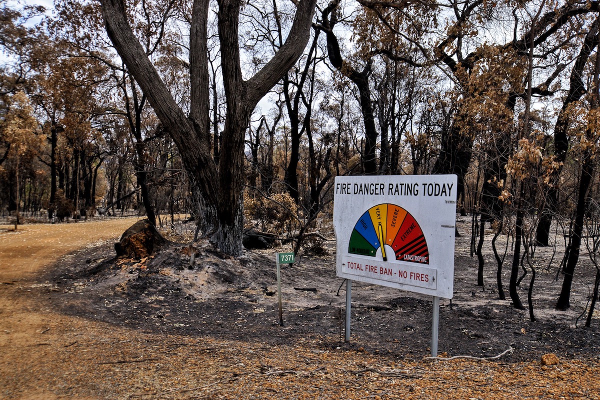
Prescribed burning can reduce house loss during bushfires so long as it is targeted close to houses.
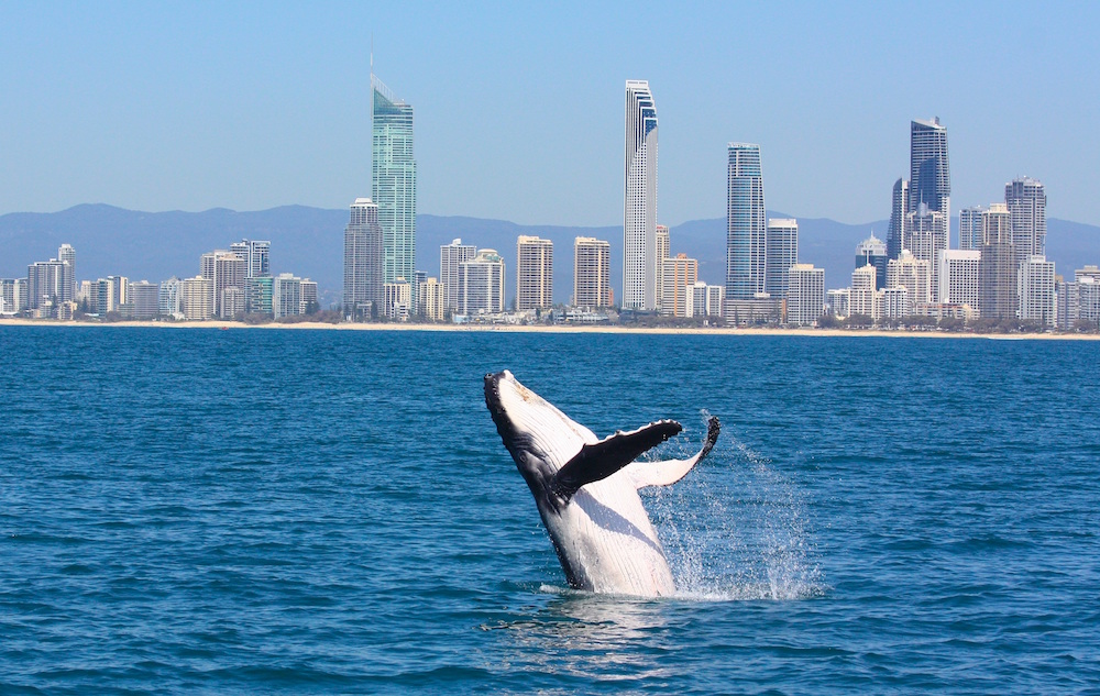
A world-first research project aims to understand how ocean changes influence the recovery of whale populations in the southern hemisphere.

New research uncovers tipping in the ability of corals to protect themselves from bleaching.
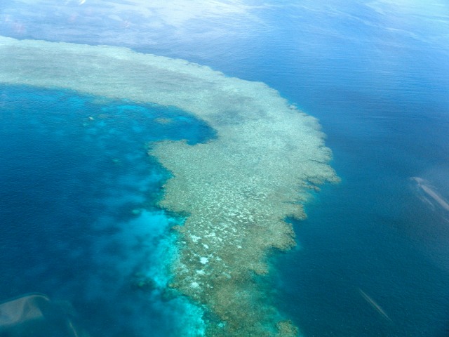
Our coral reefs are feeling the heat - and new research has found that corals are making ‘cloud umbrellas’ to stay cool.